Voir plus de photos
- Open from 01/01/2025 to 31/12/2025
- Open from 01/01/2026 to 31/12/2026
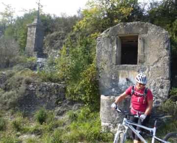
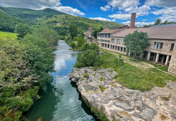
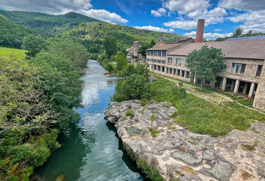
Two options: the 90 km loop, naturally more demanding, and a shortened 64 km version that cuts through the village of Fayet. In any case, a remarkable immersion in an unusual landscape, alternately arid and wooded, with charming heritage sites along the way. The formidable climb to Montaigut Castle, signaling the end of the route, requires careful pacing.
More informations by clicking here
Through the Rougier : Cycling
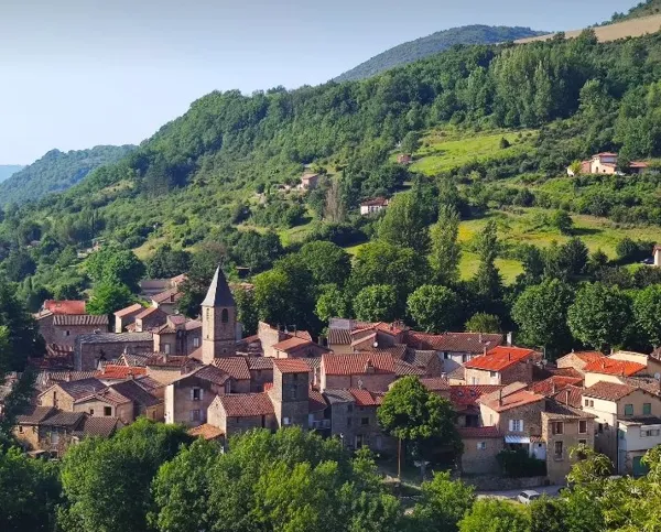
Explore a little Colorado in the heart of Occitanie: the Rougier, a landscape of wine-colored hills and canals, surrounded by forests. Statue-menhirs – human-shaped steles – greet you along the way.
GPS coordinates
Latitude 43.95092529 - Longitude 2.89392612
Contact us
A travers le Rougier : Cyclo - Départ : station service vélo, rue du 12 étoiles
12400 St-Affrique
Reservation : Information : Office de Tourisme Pays du Roquefort
Avenue de Lauras
12250 Roquefort-sur-Soulzon
- Telephone : +33(0) 5 65 58 56 00
- E-mail : contact@roquefort-tourisme.fr
- Website (URL) : http://www.roquefort-tourisme.fr/fr
- Facebook page (URL) : https://www.facebook.com/Roqueforttourisme/
- Other social networks (URL) : https://www.instagram.com/roqueforttourisme/

